
Hapag-Lloyd
Industrial 3D Scanning for Marine Retrofit: the Toronto Express at the Port of Montreal
Setting the scene
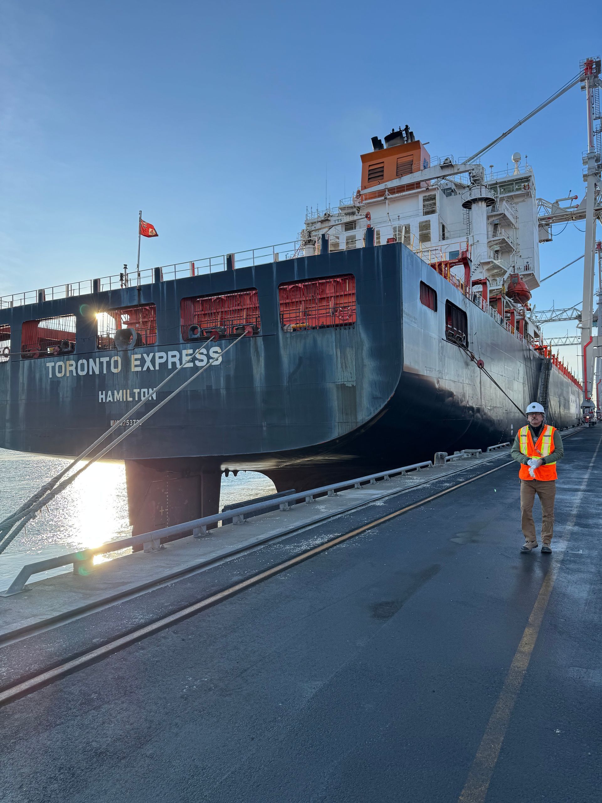
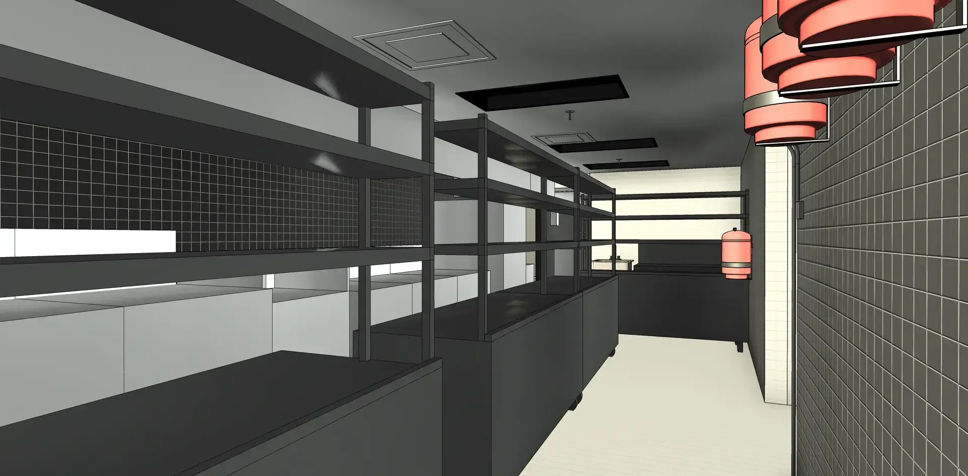
When global shipping leader Hapag-Lloyd required high-precision industrial 3D scanning for a marine retrofit project, pointSpace was selected to deliver accurate, time-sensitive reality capture services at the Port of Montreal. The vessel, the Toronto Express, was docked for only three days, leaving less than 24 hours for our team to mobilize and complete the 3D laser scanning of a critical component: the fore peak tank.
The objective was to produce accurate as-built documentation of the ship’s fore peak tank to support the design and fabrication of a retrofit component. In marine engineering projects, dimensional inaccuracies can result in costly delays, rework, and installation conflicts. By capturing precise LiDAR data of the existing conditions, pointSpace enabled Hapag-Lloyd’s engineering team to validate measurements and ensure that the newly manufactured component would integrate seamlessly.
Proposed solutions
To meet Hapag-Lloyd’s needs, we delivered a comprehensive range of specialized services:
- Complete 3D LiDAR Scanning
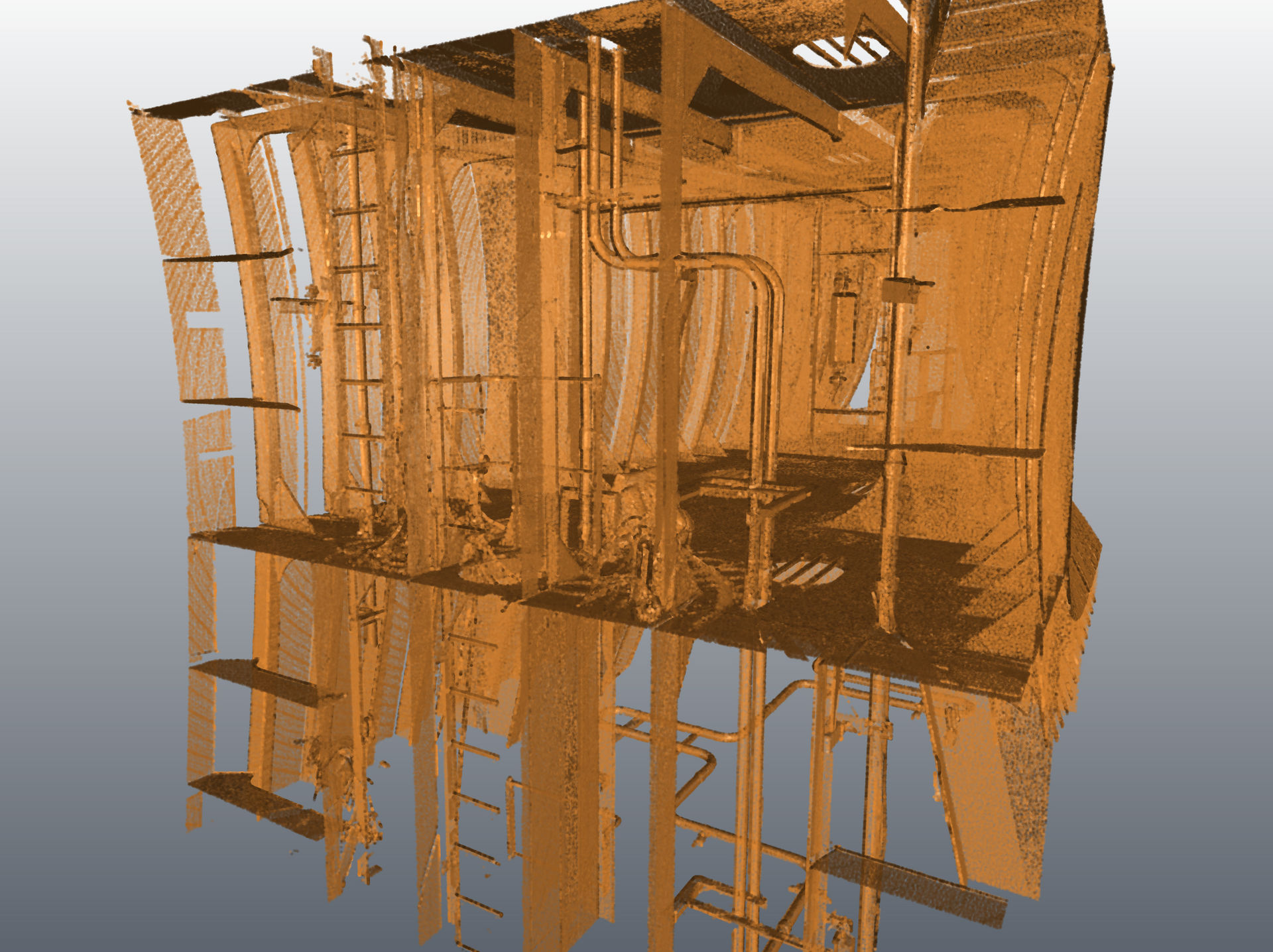
- High-precision reality capture of the forward ballast area using 3D laser scanners to accurately document the existing geometry within this confined space.
- High-Resolution 3D Point Cloud
- Generation of a detailed point cloud enabling engineers to visualize existing conditions and precisely measure critical elements of the ballast area.
- Cross-Sections and Dimensional Sections
- Extraction of strategic cuts and cross-sections of the forward ballast to validate tolerances and confirm the integration of the new component within the existing environment.
Slide title
Write your caption hereButton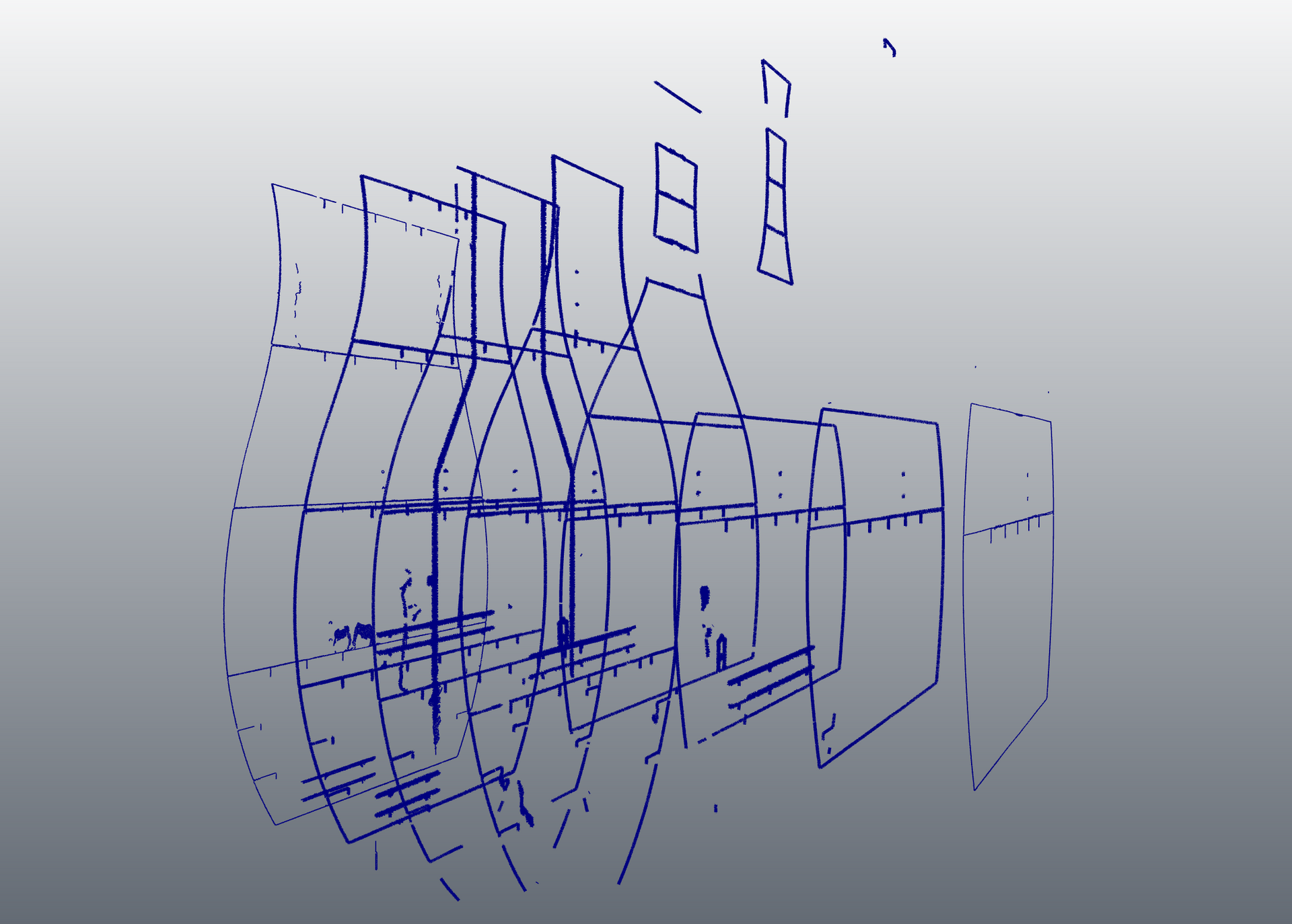
Slide title
Write your caption hereButton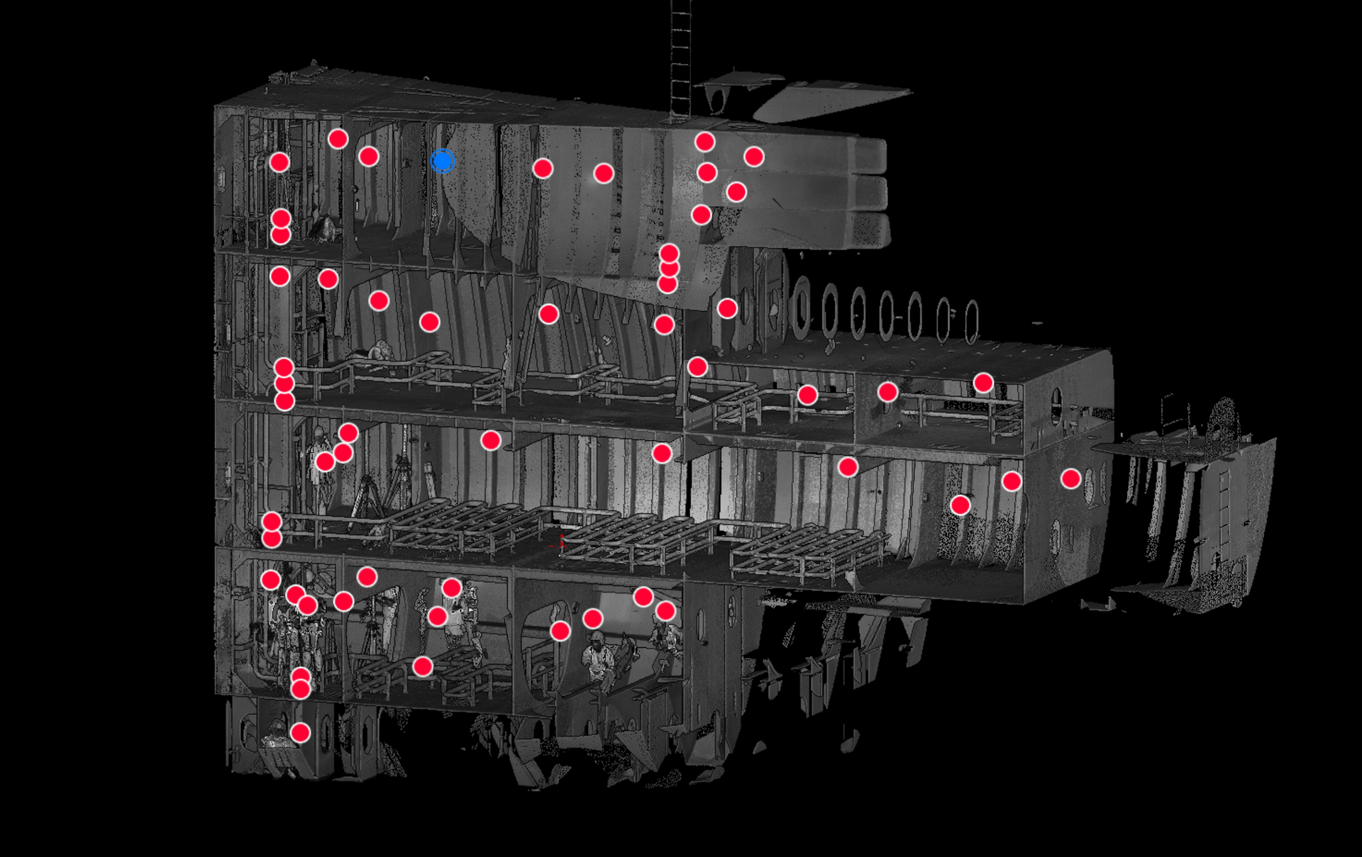
Slide title
Write your caption hereButton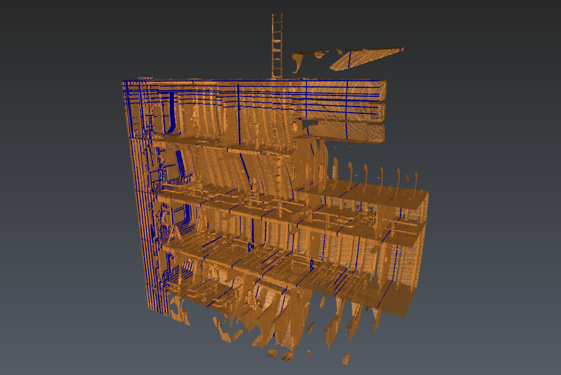
Slide title
Write your caption hereButton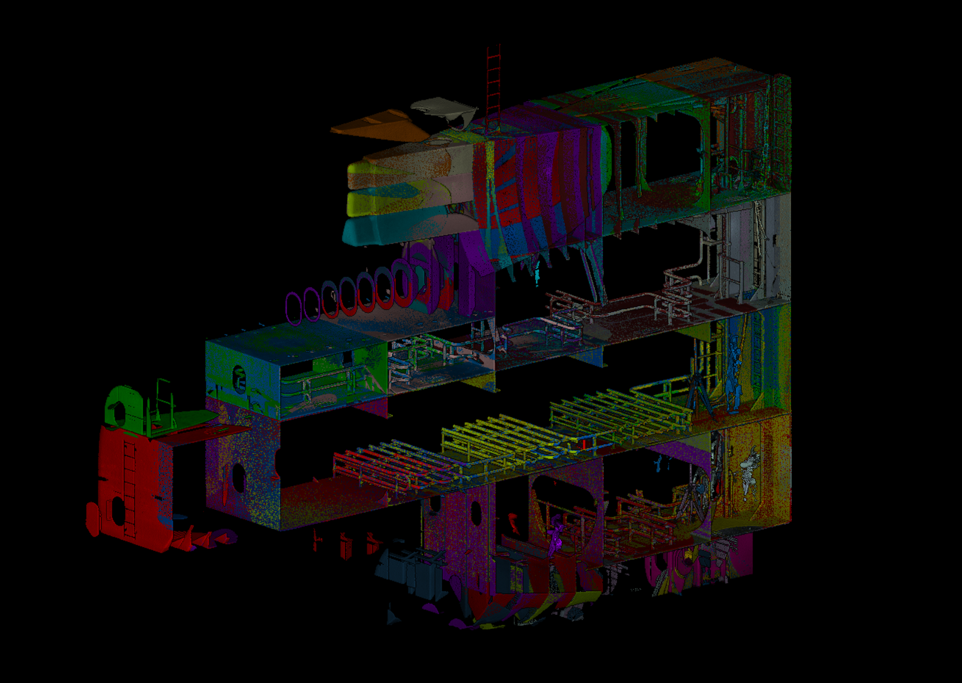
Slide title
Write your caption hereButton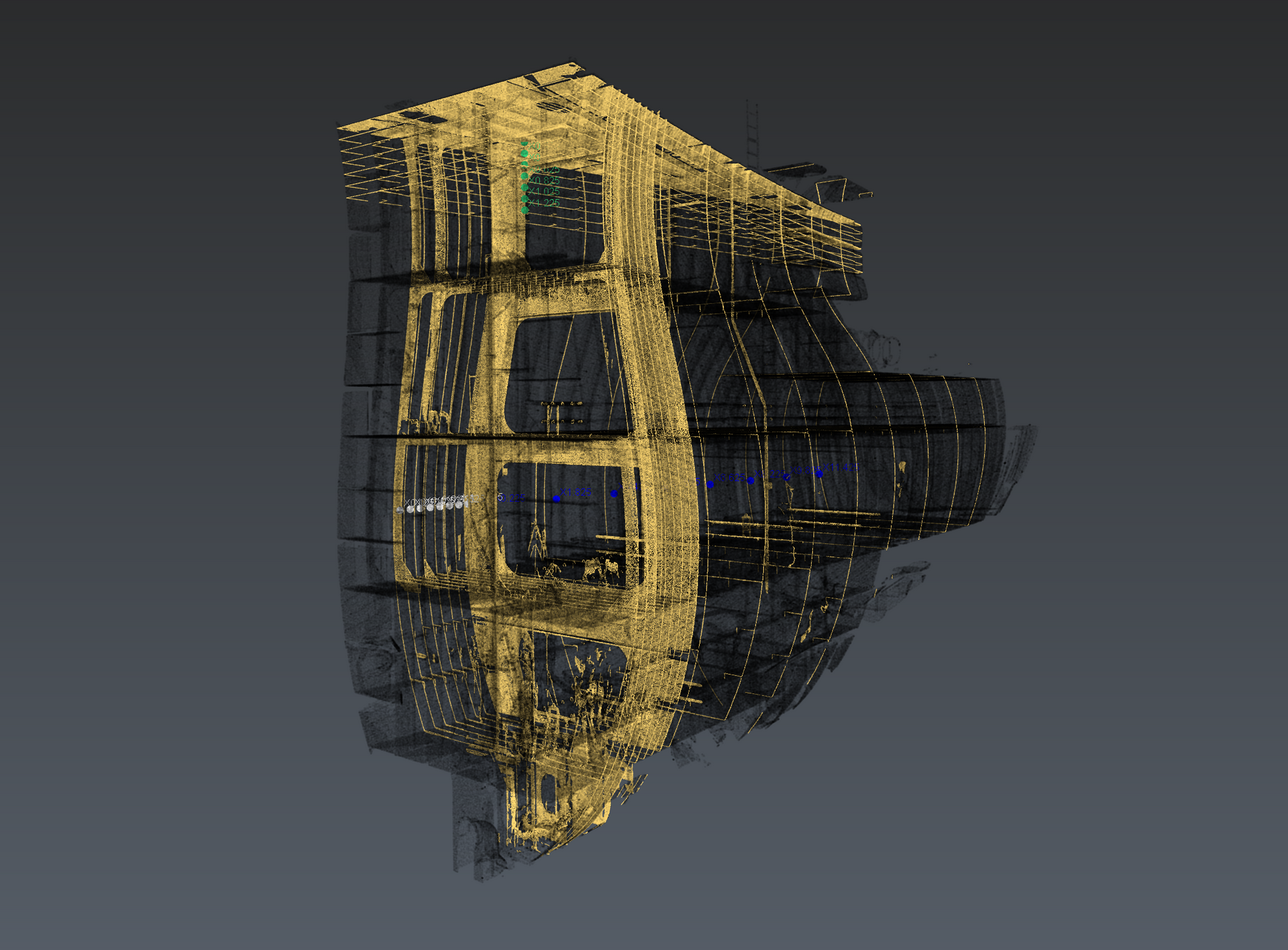
Slide title
Write your caption hereButton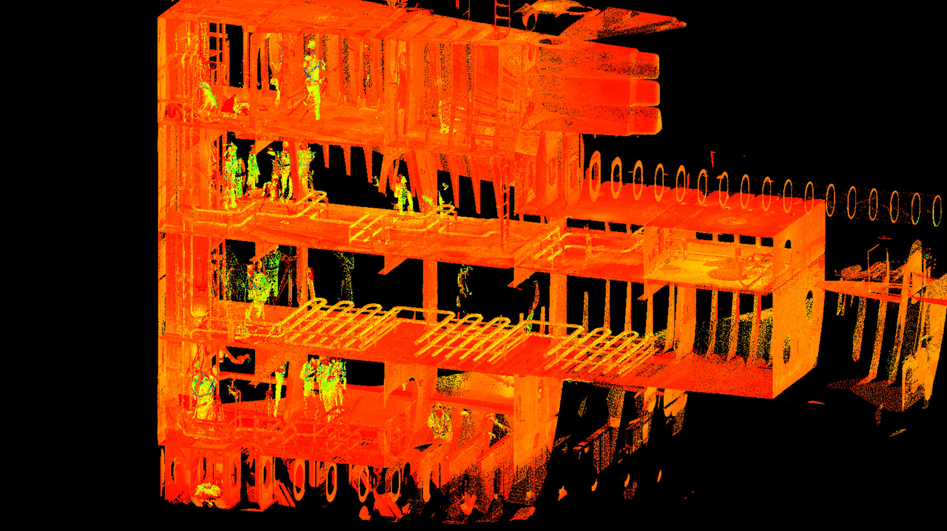
Slide title
Write your caption hereButton
Gains
Thanks to our services, our client was able to:
- Validate critical dimensions with precision
- Thanks to high-resolution LiDAR data and reliable as-built documentation, the engineering team was able to confirm that the new component would integrate perfectly into the existing environment.
- Reduce the risk of errors and delays
- Accurate measurements and dimensional cross-sections helped prevent costly adjustments or installation conflicts during the manufacturing and installation phases.
-
- Improve decision-making
- With a detailed 3D representation and clear cross-sectional views of the forward ballast area, engineers were able to quickly analyze existing conditions and plan the retrofit with greater confidence and efficiency.
"We are very satisfied with pointSpace’s prompt response and thorough execution of the measurements. Despite this being their first joint project with Hapag-Lloyd, they quickly demonstrated an in-depth understanding of the desired results and tight deadlines. The time between the initial contact on a Saturday and the execution of the measurements was only four days."
- Frank Tiedemann
Hapag-Lloyd
Why
pointSpace ?
Our mission is simple: to bring the building directly to our customers' computers. With accurate data and intuitive access, we enable our partners like Reitmans to gain time, efficiency and control over their projects.

Article by
Louis Dallaire
A graduate of ÉTS in operations and logistics engineering, Louis is passionate about the industrial world. His goal with pointSpace is to make data management and use accessible, because it's not always necessary to use complex tools to solve simple problems !
Comprehensive Building 3D Scanning & 3D Modeling
View case studyContact Us
We will get back to you as soon as possible.
Please try again later.