ARCHITECTURE AND BUILDINGS
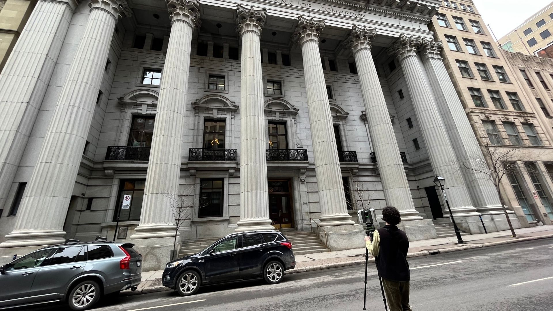
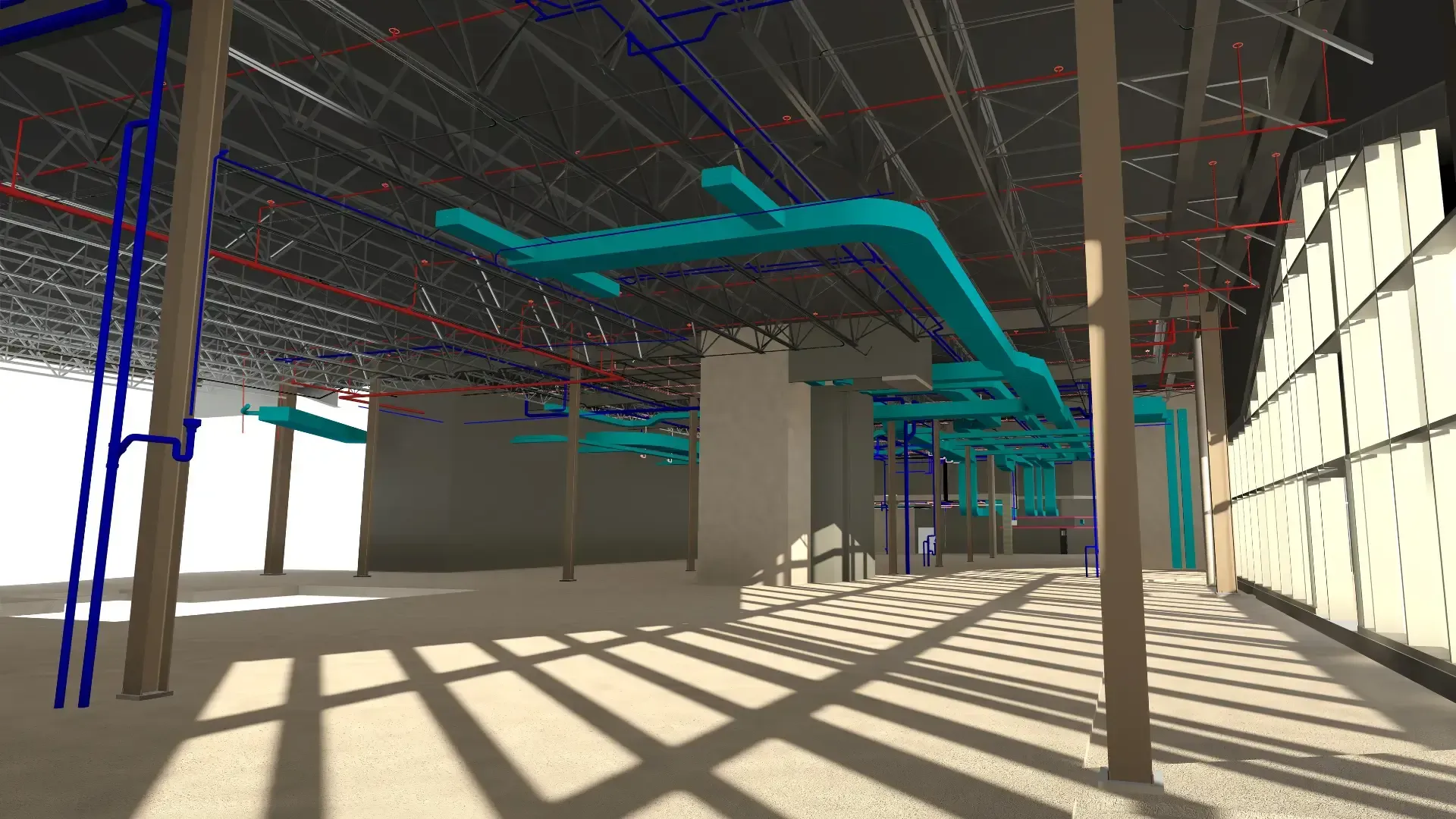
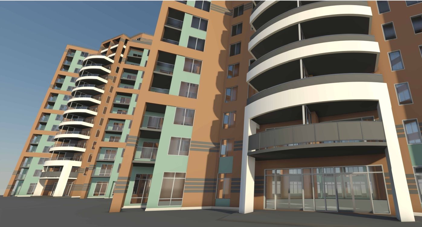
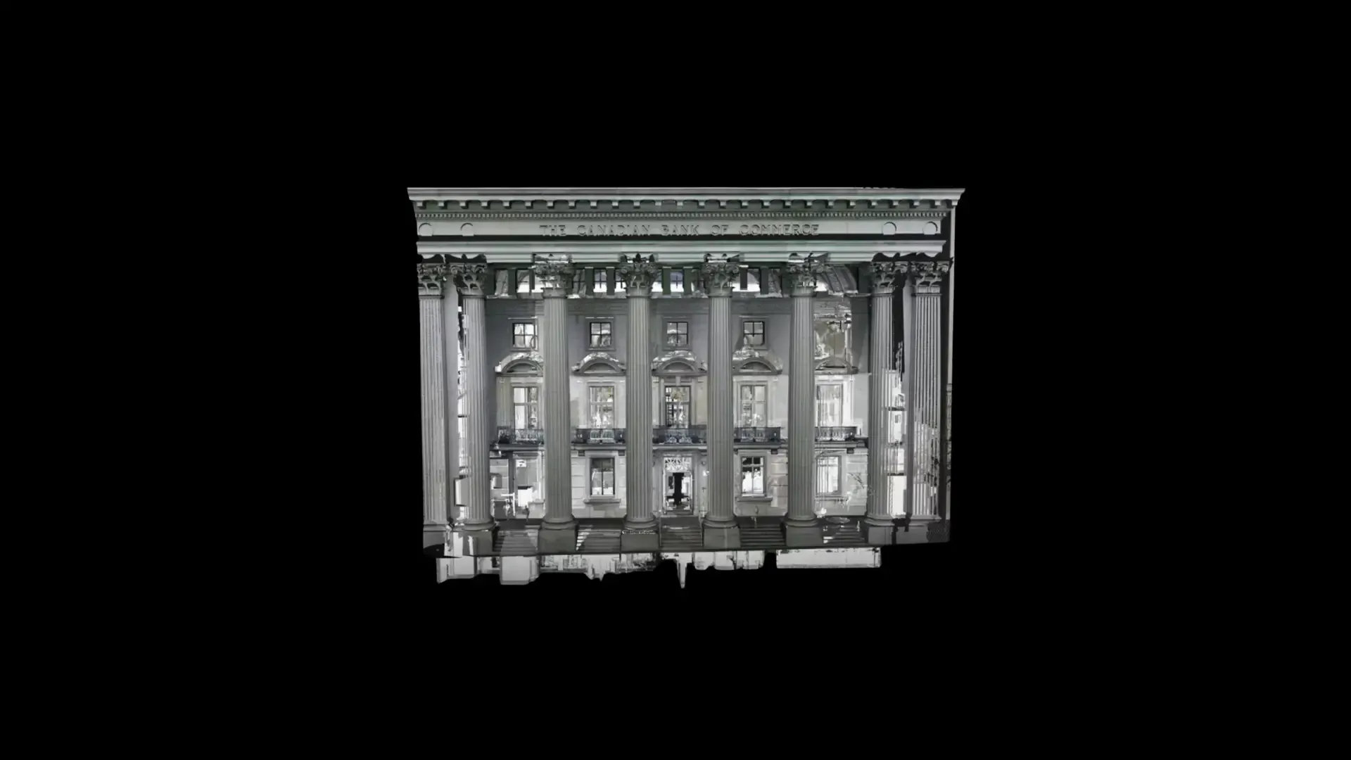
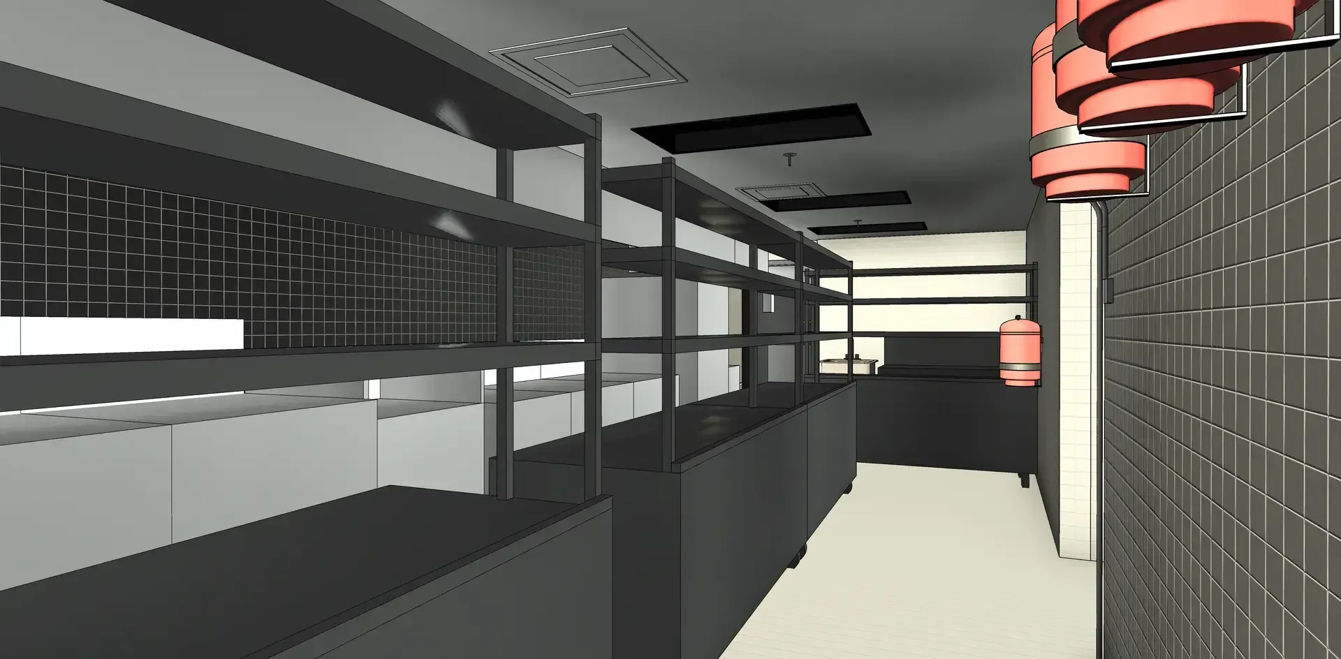
The space digitization service creates 3D models of interior and exterior spaces from on-site surveys for project visualization, analysis, and simulation.
Comprehensive 3D Solutions
TAILORED TO YOUR NEEDS
Start your next project with PointSpace.
We completed over
400 PROJECTS
We collaborate with clients across various industries, including construction, architecture, industrial, and manufacturing. Our goal is always to deliver practical, tailored solutions that align with your needs.
"A high-quality, fast, and efficient service."
- Juliano Rodriguez-Daoust, VP Business Development and Acquisitions
Carosielli Group
"The service was A1, we made several changes and these were always made quickly."
-Olivier Tremblay, Process Improvement and Maintenance Manager
Nelmar