360° PHOTO SERVICES
360° PHOTO SERVICES
Get a full 360° view of your building or site for immersive visuals
that let you explore and share your spaces in a whole new way.
When working with us
YOU CAN EXPECT
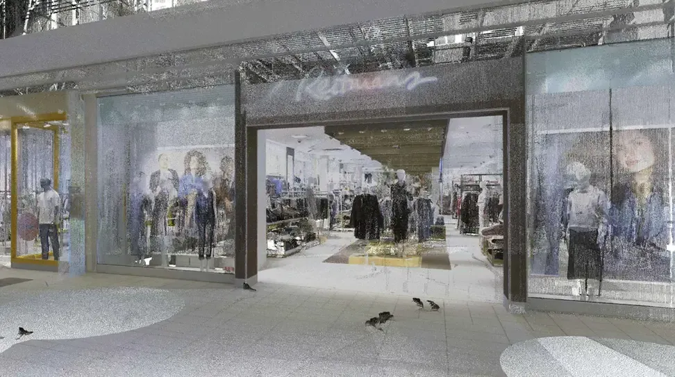
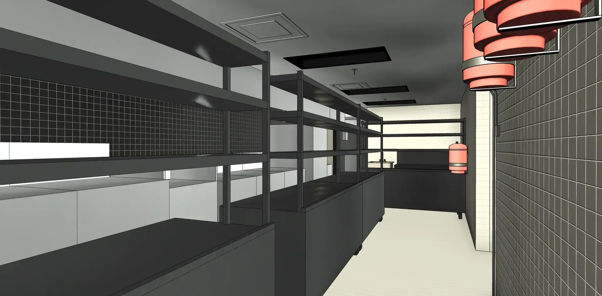
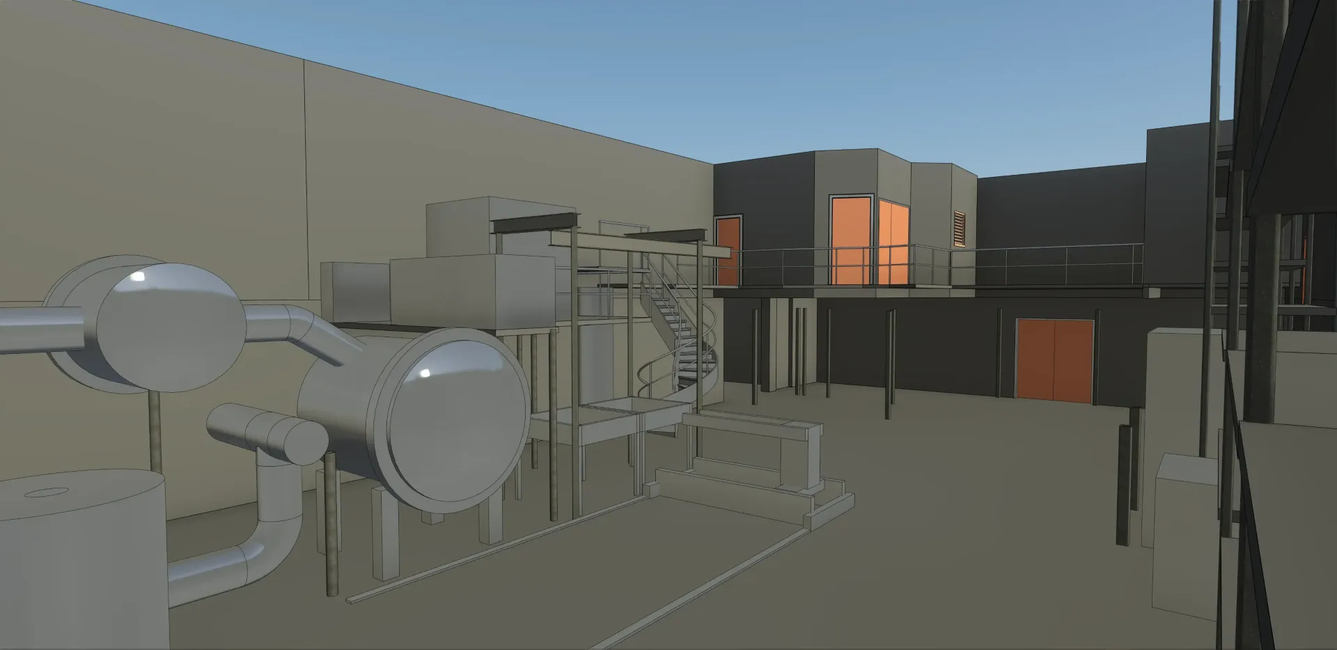
We capture your physical spaces with high-quality 360° photos. Using advanced technology, we deliver immersive visuals that let you explore and share your spaces in a whole new way.
HIGH-QUALITY
With our 360° photo services, you receive high-quality images of your surroundings. Capture every detail with precision and create immersive visuals that let you explore, share, and showcase your spaces like never before.
FIELD TO FILE
From image capture to delivery, we provide ready-to-use 360° images in the format that works best for you. Our process ensures high-quality, immersive visuals that are easy to share, and showcase.
EFFICIENCY
Our 360° photo services provide an efficient capture of your site or building, delivering high-quality visuals with minimal disruption.
Proven results across 400+ projects
We work with clients across various sectors, including construction, architecture, and manufacturing. Our goal is to provide high-quality 360° photo services and solutions tailored to your needs.
MOST FREQUENT
QUESTIONS
Want to learn more about our 3D scanning, 3D modeling and 360° photo services? Our team is here to answer your questions and provide personalized guidance. Feel free to contact us to discuss your project.
What are 360° photos?
360° photos capture a full, panoramic view of a space from a single point. They allow viewers to look around in every direction, giving a realistic sense of the environment without being physically present.
How long does it take to capture a space?
The capture time depends on the size and complexity of the space. Most projects are completed quickly and efficiently to minimize disruption while still delivering high-quality, detailed images.
How can I view and share the images?
360° images and virtual tours are interactive and can be viewed on desktops, tablets, or mobile devices. You can easily share them with team members, clients, or the public through links, social media, or embedding them on your website.
In what formats are the images delivered?
We provide ready-to-use 360° images in formats that meet your needs, optimized for web use, presentations, or other applications. The files are high-quality and easy to integrate into your workflow.
Can you capture hard-to-reach or restricted areas?
Yes. Our technology allows us to safely capture spaces that are difficult to access or restricted, providing a complete view of your property or site without compromising safety.
"The pointSpace team provided a high-quality, fast and efficient service to meet our operational needs. The plans produced by pointSpace help both our customers and our coordination team prepare for outstanding events at Théâtre St-James."
- Juliano Rodriguez-Daoust,
VP Business Development and Acquisitions
Carosielli Group